Letter from the President
This issue of SPIE Professional highlights optical systems looking at or working in land and water. Recently retired from a long career as an aerospace engineer, I would like to highlight one of my favorite optical technologies in this arena, remote sensing.
It is now a given that app-based navigation systems like Google Maps include images of terrain and features at increasing resolution. In less than 20 years, this information has expanded from a few specialized uses to an assumption that everyone will have it available at our fingertips through our smartphones.
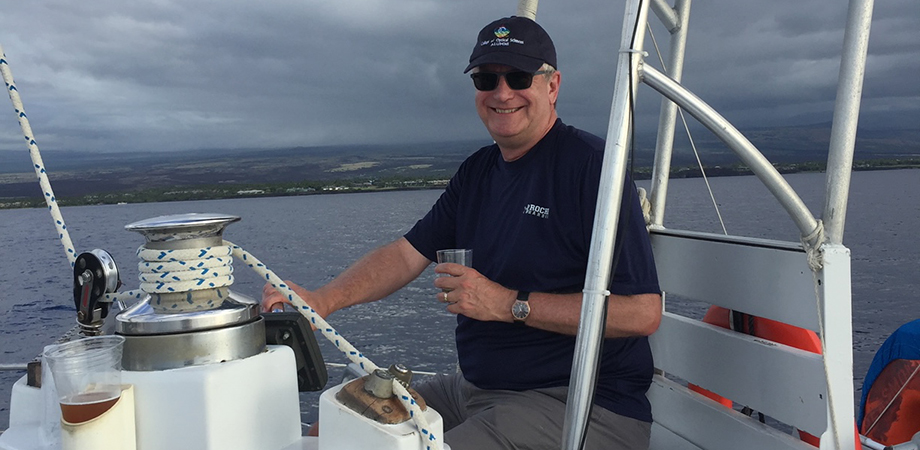
Over the water, information from satellites guides navigation, much like it is used on land. I personally use marine navigation apps that include satellite remote imaging for planning and following routes on our boating vacations. (Speaking of which, I need to plan our next boating vacation...have I mentioned that I'm retired?)
In addition to navigating the open waters, knowing the weather in advance is a critical safety issue for boaters, as it is over land. How many people know that the vast majority of the data behind ever-improving weather forecasting around the globe come from satellites? Microwave sensors, imagers, and spectral data combine to provide the core data to detect, track, and predict the path of major storms. They can image, measure temperature, humidity, and precipitation profiles differentiating between rain, snow, and hail. The data and data analysis from these systems, produced by a number of countries, is shared worldwide.
Increasingly often, these systems are being produced through international collaborations, such as the NASA/JAXA Global Precipitation Measurement Satellite. Sharing and understanding the data from these satellites has become an international scientific journey. Even in regional forecasts to the public, a range of US and European models are used to explain potential paths for severe storms. This data comes almost exclusively from satellites with optical, infrared, and microwave sensors onboard.
Further improvements to forecasting ability are underway. Beyond weather satellites, a number of existing and planned scientific Earth remote sensing instruments have increased our capabilities to study ice, water properties (such as salinity, wave states, etc.), atmospheric pollution transport, ozone, and clouds. These and many other properties feed into our evolving understanding of our Earth as a system.
Often, these scientific instruments prove useful in obtaining further improvements to forecasting weather and environmental quality, leading to future weather and environmental remote sensing systems. For example, articles in this issue describe the recent launch of ICESat-2, which is delivering impressive data about the melt rate of glaciers and floating sea ice; the role of lidar aboard the National Oceanic and Atmospheric Administration's Hurricane Hunter aircraft; and the rapid Earth-mapping capabilities of yet-to-launch TanDEM-L.
What we have learned from space-based observations of Earth helps us know what to look for in our search for life elsewhere in the Universe. Many believe that some of these methods are technologically advanced enough, when combined with future large observatories and coronagraphs being planned, to detect the life-supporting elements of water and atmosphere around other planets, and possibly answer the question of life existing elsewhere in the Universe.
In the meantime, international partnerships have been expanding to join our collective ideas and capabilities to produce larger and more capable observatories in space and on the ground. The James Webb Space Telescope, European Extremely Large Telescope, Thirty Meter Telescope, and Giant Magellan Telescope are the (near) future generation of high-power observatories currently under construction with significant international partnerships. Not only countries, but scientists and engineers from government labs, academia, and industry are collaborating on these projects, and their cooperation is essential to enable these very challenging systems. Complex systems are sometimes required to answer complex questions.
 Take a look at the articles within to explore the myriad ways photonic technology operates in air and water, including laser communication, solar-powered water pumps in developing countries, commercial CubeSats, and more. I bet you and I will learn something new.
Many people working in photonics are "Connecting Minds" and "Advancing Light." These are just a few of their stories. Enjoy!
Jim Oschmann
2019 SPIE President


